Blogging BMP’s
A monthly Blog discussing the Best Management Practices (BMP’s) that must be used to aid in erosion and sediment control
Welcome back to another edition of Blogging BMP’s! I hope that you have been able to keep your emotions in check as you tune into your favorite weather forecaster, or as ABC 57’s Tom Coomes puts it, the local farmer’s “financial advisor”. This spring has shaped up to be one of those where the forecast calls for a 10% chance of rain and for some reason mother nature heard 100%. There does seem to be some promise in the long term for some heat and dryer weather so not all will be lost this spring.
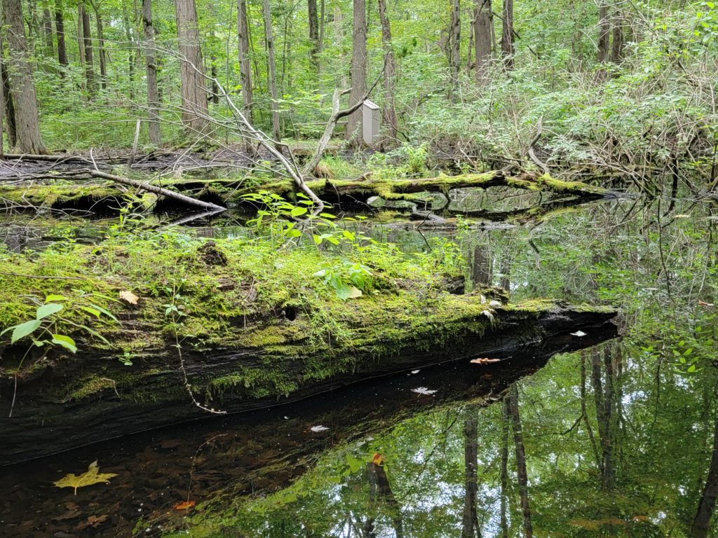
It is not breaking news that rivers, lakes, streams and ditches all have a tendancy to flood when it rains heavily in this area. In fact, when the settlers began to move in this area after the Civil War they realized that our Indiana soils were ideal for farming and began to clear the woods and prairies to make way for row crops. One thing they did correctly at that time was identify the consistently wet areas and left the trees in place for water to gather and infiltrate. These remaining woods that typically surround wetlands, streams and ditches did a pretty good job of holding the water and cleaning it up before it infiltrated into the soils and re-entered our groundwater. Fast forward 100 years, and what would take a farmer a month to clear with his horse, saw and a few neighbors is now able to be removed within a few hours. There is literally no place we can’t transition a woods into a farm, factory, neighborhood, or parking lot. One thing we must take into consideration is the space along the banks of our waterways that need to be left in place to filter water as it leaves our new developments.
That leads me to one of the items that the new Construction Stormwater General Permit has made a requirement for land developers to consider when they are required to submit a Notice of Intent and a Stormwater Pollution Prevention Plan (SWPPP) due to land disturbance of more than 1 acre, Natural Buffers.
From the IDEM Plan-Development-Guidance Document:
The CSGP defines “Natural Buffer” as an existing (prior to land disturbance) undisturbed area adjacent to or surrounding surface waters within which construction/land-disturbing activity is restricted. For the purposes of implementation of the CSGP buffer requirement the areas that must be preserved include ephemeral, intermittent and perennial streams with a defined bed and bank, natural lakes, and reservoirs. Guidance for determining if an area must be preserved in accordance with the CSGP can be found in the Buffer Guidance Document .
Please note that the areas are not required to be “established” so if there is no existing buffer prior to construction activities, a buffer is not required. It is important to understand that if the area is in a floodway or floodplain, it will need to be left undisturbed or additional permits may be required. The bottom line is, if you are encroaching on a waterway, do your homework and find out what the requirements are before disturbing the area. If you are not sure who to contact, please email or call me at tclark@elkhartcounty.com / 574-536-0932 and I will provide you with the correct information.