Nunamaker Ditch
HUC: 04050001 (what is a Hydrologic Unit Code HUC?)
Area: 5 square Miles
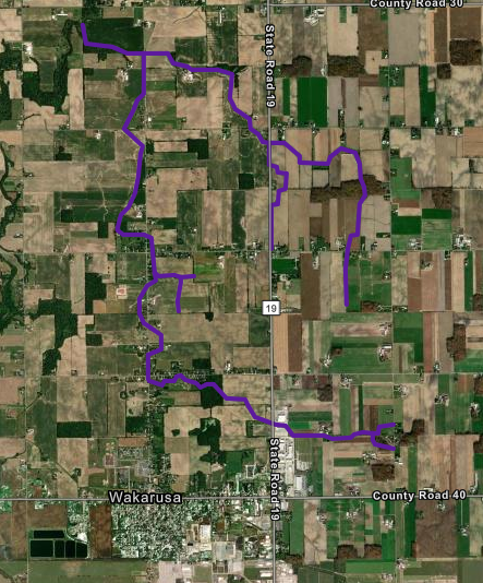
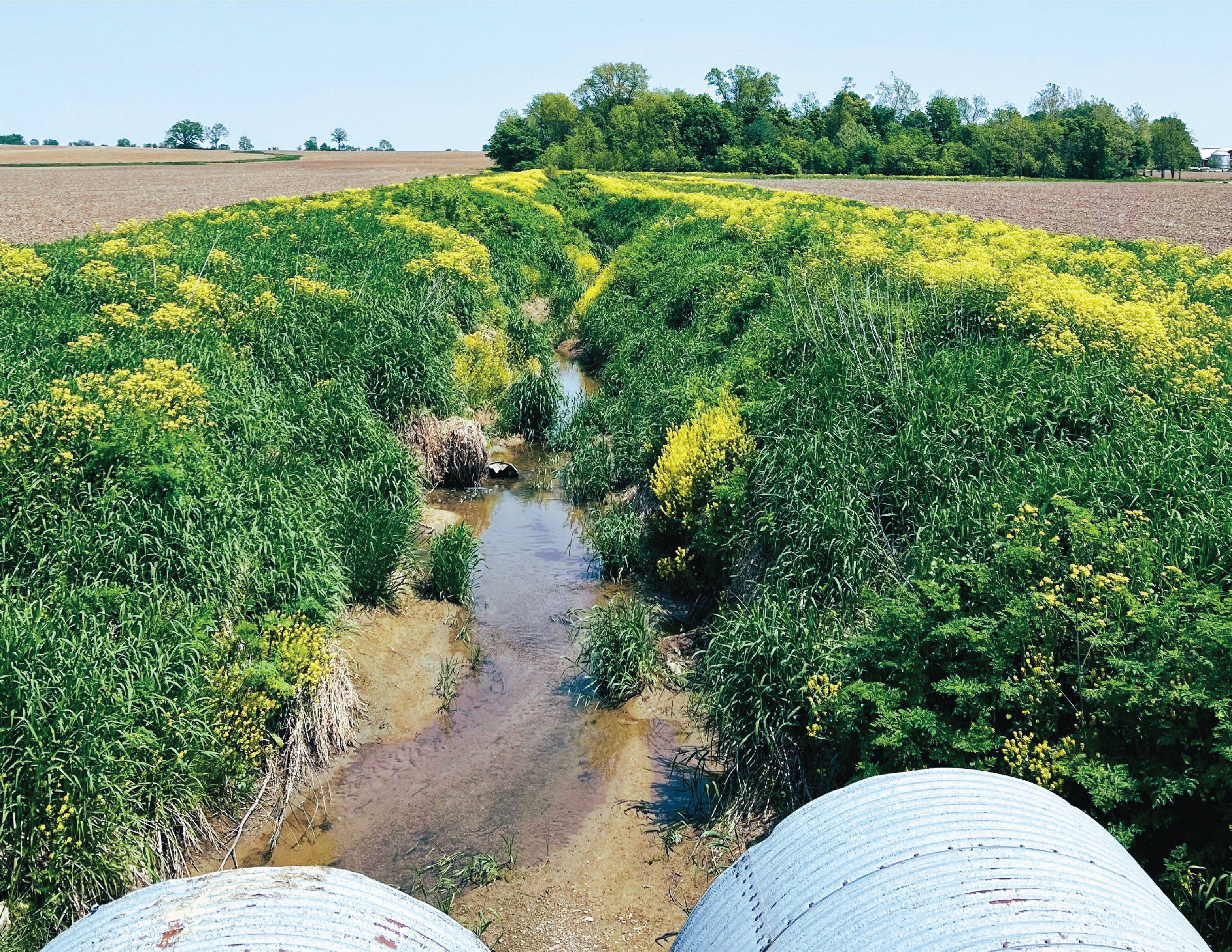
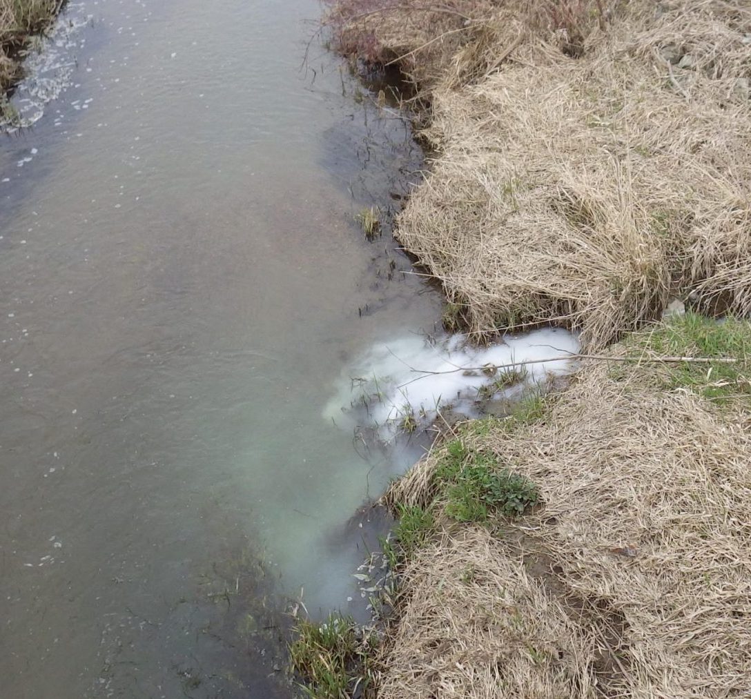
The Nunamaker Ditch system was established in 1885 and is part of the St. Joe River watershed. This system was designed to drain agricultural ground. The watershed has an approximate area of 5 square miles and the ditch is approximately 4 miles in length. The top end of the system begins in Harrison Township north of CR 38 and east of CR 7. It has approximately 100 feet of fall from east of CR 7 to CR 3. Its course crosses CR 7, CR 36, SR 19, CR 32 and CR 3 as it drains from the southeast to northwest flowing into the Baugo Creek which then discharges into the St. Joe River. In 2006, a project was completed to address 17,050 feet of maintenance digging on the system from CR 3 to CR 36. This project also included the replacement of four farm crossings. In 2020, the CR 32 crossing structure, located west of SR 19, was replaced in conjunction with the County Highway Department.
What’s going on in the Nunamaker Ditch?
Get involved in efforts to protect the Nunamaker Ditch Watershed by learning more and having fun.
Elkhart County Surveyors
The Office of the Elkhart County Surveyor began in 1831 upon the appointment of George Crawford by the County…
How’s the water?
There are many ways that water quality can be tracked. Check out these helpful websites to look at data relating to water quality.
Watershed Partners